What NOAA is, and why that shapes how it buys
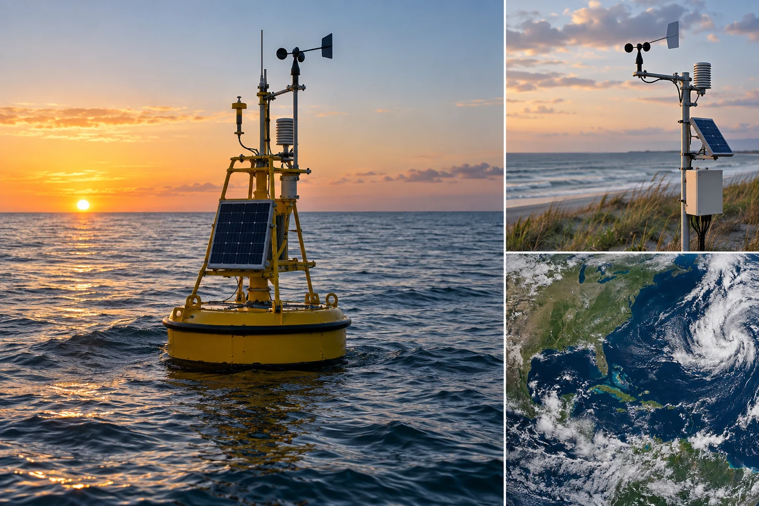
The National Oceanic and Atmospheric Administration is a bureau of the Department of Commerce, not a defense agency, and almost everything about how it buys follows from that. Its mission runs from the sun to the sea floor: forecast the weather, chart the coast, manage the fisheries, fly the satellites, monitor the climate record, and put the results in front of the public for free. It operates on roughly six billion dollars a year. Most of the work is unclassified. Most of the data is open. Most of the technology money is already committed to long-running programs, which means the question for a new vendor is never how to sell NOAA an idea. It is which existing program has a gap you can close, and which contract carries it.

NOAA is organized into six line offices. Each has its own budget line, program managers, culture, and in practice its own front door. A firm that treats NOAA as one customer sends a capability statement into a void. A firm that names the line office, the program, and the branch chief whose problem it solves gets a real conversation.
- National Weather Service (NWS). The forecast and warning mission. Roughly 122 Weather Forecast Offices, 13 River Forecast Centers, and nine national centers under the National Centers for Environmental Prediction, including the Storm Prediction Center, the National Hurricane Center and the Space Weather Prediction Center.
- NESDIS. The National Environmental Satellite, Data, and Information Service. Flies and exploits the operational satellites, runs the ground enterprise, and owns the national archive through the National Centers for Environmental Information.
- National Ocean Service (NOS). Nautical charting and hydrography through the Office of Coast Survey, water levels and currents through CO-OPS, the national geodetic reference frames through NGS, and coastal data through the Office for Coastal Management.
- NOAA Fisheries (NMFS). Stock assessments, protected species, and permitting under the Magnuson-Stevens Act (16 U.S.C. 1801 et seq.), the Endangered Species Act and the Marine Mammal Protection Act. Six regional offices and six science centers.
- Oceanic and Atmospheric Research (OAR). The research arm. Federal labs including GFDL in Princeton, the National Severe Storms Laboratory in Norman, AOML in Miami, PMEL in Seattle and the Global Systems Laboratory in Boulder, plus sixteen university-based Cooperative Institutes.
- Marine and Aviation Operations (OMAO). The fleet. Research and survey ships, the hurricane-hunter WP-3D Orions and a Gulfstream IV-SP, the NOAA Commissioned Officer Corps, and the Uncrewed Systems Operations Center.
One caution. The placement and funding of some NOAA components have been the subject of recurring budget proposals, including proposals touching research functions and the Office of Space Commerce, which has sat inside NOAA and runs civil space traffic coordination work. Read the enacted appropriation and the current org chart before building a capture plan on a structure you remember from two years ago.
Where AI and Data Work Concentrates by Line Office
Editorial weighting from public program documents and practitioner reading, illustrative rather than a measured statistic.
The satellite enterprise is the biggest technology line
NESDIS carries the largest capital programs in the agency. The geostationary side is the GOES-R series, with GOES-19 taking over as GOES-East in 2025. The polar side is the Joint Polar Satellite System, flying Suomi NPP, NOAA-20 and NOAA-21. Around them sit DSCOVR and the Space Weather Follow On mission at L1, the Jason and Sentinel-6 Michael Freilich altimetry line, and the next generation of geostationary observing, GeoXO, planned for the 2030s. NASA awarded the GeoXO spacecraft contract to Lockheed Martin in 2024 at a value up to about $2.27 billion, which tells you the scale of the prime work and also tells you that a small firm enters this world as a subcontractor or through a services vehicle, not as a spacecraft bidder.
The interesting money for an AI and data firm is on the ground side. GOES-R's Advanced Baseline Imager produces a full disk every ten minutes, a continental United States scan every five minutes, and mesoscale sectors as often as every thirty to sixty seconds, on the order of a terabyte a day before any downstream product generation. Every one of those product streams has a calibration problem, a quality-flagging problem, a latency problem and an archive problem. NESDIS has been consolidating that work into a common cloud framework rather than building a bespoke ground system per mission, which is exactly the kind of consolidation that creates task orders for data engineering, pipeline automation and ML-based quality control.
NESDIS also buys data outright. The Commercial Data Program grew out of the earlier Commercial Weather Data Pilot and purchases radio occultation soundings from providers including Spire Global, PlanetiQ and GeoOptics, then assesses their value in operational models before scaling the buy. The signal is useful: NOAA will buy an outcome from a commercial supplier when the evaluation is rigorous and delivery is dependable.
The forecast enterprise runs on public models and public code
The National Weather Service runs operational numerical weather prediction on the Weather and Climate Operational Supercomputing System, a pair of HPE Cray EX machines named Cactus in Phoenix and Dogwood in Manassas, roughly 12.1 petaflops each, delivered under a contract with General Dynamics Information Technology announced in 2020 at about $505 million over eight years. On those machines run the Global Forecast System, the High-Resolution Rapid Refresh, the Rapid Refresh Forecast System, the Hurricane Analysis and Forecast System, and the National Water Model operated out of the National Water Center in Tuscaloosa.
The point for a vendor is that NOAA has deliberately opened this stack. The Unified Forecast System is a community modeling effort with public code repositories, and the Earth Prediction Innovation Center exists to make it practical for outside groups to contribute to and test against operational models. You do not need a contract to run these models. You need cloud budget and the patience to learn GRIB2, NetCDF and BUFR. A firm that arrives with a working post-processing result computed against actual operational output is in a different conversation from a firm that arrives with a slide.
The data holdings, and why they are the door
NOAA's archive lives in the National Centers for Environmental Information, with facilities in Asheville, Boulder, Silver Spring and Stennis, holding tens of petabytes of atmospheric, oceanic, geophysical and paleoclimate records. NOAA Open Data Dissemination, the program formerly known as the Big Data Program, mirrors a large slice of the operational and archived holdings onto Amazon Web Services, Google Cloud and Microsoft Azure at no cost to the reader and with no egress charge. NEXRAD Level II radar volumes going back to 1991, GOES imagery, GFS and HRRR output, the National Water Model, and a long list of ocean and satellite products are all reachable from a laptop this afternoon.
Beyond that: the Integrated Ocean Observing System coordinates eleven regional associations of academic and state partners; CO-OPS runs the national water level station network and the Physical Oceanographic Real-Time System in major ports; the National Geodetic Survey is replacing NAD 83 and NAVD 88 with modernized terrestrial and geopotential reference frames, a change that ripples through every application carrying coordinates; and the Office of Coast Survey finished cancelling traditional paper nautical charts in January 2025, moving fully onto electronic navigational charts. Each is a data-modernization program with software attached.
Two technical realities govern this material. First, the formats are scientific rather than commercial. GRIB2, NetCDF-4, BUFR and HDF5 are the currency, with a steady migration toward cloud-optimized layouts such as Zarr and COG. Second, provenance requirements are strict. NOAA products feed warnings that move populations and charts that keep ships off rocks. Any model you insert into that chain has to be reproducible, versioned, and explainable to a scientist who will ask what changed between run 41 and run 42.
How work actually flows to a vendor
NOAA buys through the Acquisition and Grants Office, operating under the Federal Acquisition Regulation, the Commerce Acquisition Regulation at 48 CFR Chapter 13, and the Commerce Acquisition Manual. Regional acquisition divisions handle much of the field work. The flagship services vehicle is ProTech, a multiple-award IDIQ for professional, scientific and technical services organized into mission domains, Satellite, Weather, Fisheries, Oceans and Enterprise Operations, with a follow-on generation carrying a ceiling in the billions across those domains. If a NOAA program office needs sustained technical labor, the odds are very high the work becomes a ProTech task order.
| Route | What it carries | Realistic entry for a small firm |
|---|---|---|
| ProTech domains | Sustained mission-technical services by line office | Join a prime's team as a named subcontractor before the next on-ramp; direct awards go to existing holders |
| GSA MAS and GWACs | IT services, cloud, and products via MAS, NASA SEWP, NIH CIO-SP, GSA OASIS+ | Hold a schedule or team with a holder; useful for discrete engineering and cloud work |
| Simplified acquisition | Requirements at or below the $250,000 threshold in FAR 2.101 | Strongest small-firm lane; FAR 19.502-2(a) reserves this range for small business when two capable firms exist |
| SBIR | Commerce SBIR, administered for NOAA by the Technology Partnerships Office | Direct award with no incumbent; the cleanest cold start into the agency |
| Omnibus BAA | NOAA's annual Broad Agency Announcement for research proposals | Fits applied research with a named NOAA collaborator; slower, lower dollar, high credibility |
| Cooperative Institutes | University-based research agreements tied to NOAA labs | Subaward through a CI puts your engineers next to the program scientist who defines requirements |
Below the vehicles sits the part most firms skip. Under FAR Part 10, the contracting officer must do market research before deciding acquisition strategy, and the sources sought notice is where that happens. Answering a sources sought with a specific, credible capability response is how a requirement becomes a small-business set-aside instead of a task order on somebody else's IDIQ. Commerce also publishes an annual forecast of contract opportunities, and for buys of commercial products and services, FAR Part 13 simplified procedures reach up to $7.5 million, which is a larger door than most new entrants realize.
SBIR at NOAA, and the STTR question
NOAA participates in the Small Business Innovation Research program through the Department of Commerce, with the program administered for NOAA by the Technology Partnerships Office inside OAR. This is the single most direct path into the agency for a firm with no NOAA past performance, because SBIR awards are made to the small business directly and there is no incumbent to displace. NOAA has historically set its Phase I near $175,000 for a six-month effort, which is well below SBA's inflation-adjusted guideline amounts of roughly $314,000 for Phase I and about $2.1 million for Phase II. Read the current solicitation for the year's exact numbers and topic list rather than relying on last year's.
NOAA does not run an STTR program. Under 15 U.S.C. 638(n), STTR is required only of agencies with extramural research and development budgets at or above one billion dollars, which is why the STTR agencies are the Department of Defense, the Department of Energy, HHS, NASA and NSF. If your university relationship is the strength of your team, the NOAA-equivalent structure is not STTR. It is a subaward under a Cooperative Institute agreement, or a CRADA with a NOAA lab under 15 U.S.C. 3710a, both of which the Technology Partnerships Office can route.
Security and access: what gates entry
NOAA is a civilian agency and the volume of classified work is small, but the compliance floor is real and it is where unprepared vendors stall. Federal information systems fall under FISMA and are assessed against NIST SP 800-53 Rev. 5. Any cloud service offering sold to NOAA needs FedRAMP authorization, now a statutory requirement under the FedRAMP Authorization Act codified at 44 U.S.C. 3607 and following. Nothing touches production until the system holds an authorization to operate, and the ATO clock is measured in months, not weeks.
Controlled Unclassified Information shows up more often at NOAA than outsiders expect: personally identifiable information in fisheries permits and observer records, proprietary catch and vessel data, critical infrastructure detail in port and navigation systems, and pre-decisional regulatory material. CUI is governed by Executive Order 13556 and 32 CFR Part 2002; FAR 52.204-21 sets basic safeguarding on federal contract information, and NIST SP 800-171 Rev. 3 is the control set for CUI on a contractor's own systems. A governmentwide FAR CUI clause has been in development under FAR Case 2017-016, with a proposed rule published in January 2025, so confirm where that stands before you sign anything that references it.
Personnel access is the other gate. Contractor staff needing NOAA facility or system credentials go through HSPD-12 credentialing and a suitability investigation adjudicated by the Commerce security office, typically Tier 1 for low-risk positions and Tier 2 or Tier 4 for moderate and high-risk public trust roles. Those investigations take months. Start them the day the award is signed. Section 889 of the FY2019 NDAA, implemented at FAR 52.204-25, bars covered telecommunications equipment and services, and every offeror represents to it. Finally, satellite ground work can reach export-controlled territory under the ITAR at 22 CFR Parts 120 through 130, including USML Category XV for spacecraft, or the corresponding EAR classifications, which is why a firm handling that material should already be registered for controlled technical data access rather than scrambling for it mid-performance.
Where a small engineering firm realistically fits
Model post-processing and bias correction. NOAA runs the physics. The gap is between raw model output and a decision. Statistical downscaling, calibrated probabilistic guidance, ensemble post-processing, and impact-based translation of a forecast into a threshold a water manager or an air traffic planner can act on are all tractable ML problems on fully public data.
Cloud-native data engineering. Converting decades of GRIB2 and NetCDF holdings into analysis-ready cloud-optimized stores, building STAC-style catalogs, and cutting the cost of a query from hours to seconds. This is unglamorous and it is exactly what the archive and the line offices need.
Imagery and acoustics for fisheries and coastal science. Electronic monitoring video from fishing vessels, towed and drop-camera survey imagery, hydroacoustic backscatter, and habitat mapping all generate more data than analysts can review. Automated detection and classification with a defensible error budget is a live need at the science centers.
Document and records automation. Endangered Species Act Section 7 consultations, permits, environmental reviews and stock assessment documentation are heavy, deadline-bound paper workflows. Deterministic extraction with span-level provenance beats free-form generation every time in a record that has to survive legal challenge.
MLOps and reproducibility. NOAA science is peer-reviewed and litigated. Pipelines that pin versions, capture lineage, and reproduce a result two years later are a requirement, not a nicety, and they are a rare thing to buy well.
This is the work our team does. Precision Federal builds production AI, ML, data and cloud systems for federal customers, and the bench that does it includes engineers, licensed professional engineers and domain specialists we name by name in every proposal. Our team is led by Bo Peng, Founder and Chief Technology Officer, a Kaggle competitor ranked in the top 200 of a field of more than 200,000, holding seven cloud certifications, with fifteen years of building production systems for federal agencies across five consulting firms, three of them federal. We are SAM.gov active, CAGE 1AYQ0, and JCP / DD-2345 certified for controlled technical data.
The concrete first step
Six things, in order. The sequence matters more than the speed.
First 90 Days Into NOAA
If you only do one of those, do the second. NOAA is unusual among federal customers in that it hands you the data before it hands you a contract. Tens of petabytes sit in three public clouds with no gate, no CRADA and no NDA. A firm that turns that into a measured result on a problem a named program office actually has will get a meeting. A firm that waits for a solicitation to justify the effort will read that solicitation and discover it was written around work somebody else already demonstrated.
Bottom line
NOAA is a buyable customer for a small AI and data firm, on three conditions. Know which line office owns the problem, because the agency does not buy as one entity. Understand that the technical bar is scientific reproducibility rather than demo polish, because these products carry warnings and charts that people stake their lives on. And show up with something running, because the data that would let you do so is already free and already in the cloud, which means arriving empty-handed is a choice.
Frequently asked questions
ProTech is the flagship multiple-award IDIQ for professional, scientific and technical services, organized into mission domains covering satellites, weather, fisheries, oceans and enterprise operations. NOAA also buys through GSA MAS, NASA SEWP, NIH CIO-SP and GSA OASIS+, and it makes a meaningful volume of direct small-business awards under the $250,000 simplified acquisition threshold.
NOAA participates in SBIR through the Department of Commerce, administered by the Technology Partnerships Office. It does not run an STTR program, because 15 U.S.C. 638(n) requires STTR only of agencies with extramural R and D budgets at or above one billion dollars. University teaming at NOAA runs through Cooperative Institute subawards or CRADAs instead.
Yes. NOAA Open Data Dissemination mirrors a large share of operational and archived holdings onto AWS, Google Cloud and Azure with free access and no egress charges, including NEXRAD Level II back to 1991, GOES imagery, and GFS and HRRR model output. Building a demonstrator on that data before you bid is the most reliable way to be credible with a program office.
FISMA and NIST SP 800-53 Rev. 5 govern federal systems, FedRAMP authorization is required for cloud services under 44 U.S.C. 3607 and following, and CUI handling follows Executive Order 13556, 32 CFR Part 2002 and NIST SP 800-171 Rev. 3 on contractor systems. Staff need HSPD-12 credentialing and a suitability investigation, usually Tier 1, Tier 2 or Tier 4 depending on risk level.
Follow the problem, not the org chart. NESDIS and the National Weather Service carry the largest data and modeling budgets, OAR is the most accessible for applied research through its labs and Cooperative Institutes, and the National Ocean Service and NOAA Fisheries hold well-defined imagery, records and analytics problems that fit a small team well.