
USDA is a set of buyers, not a buyer
Vendors lose USDA work before they start by treating the department as a single account. USDA is organized into mission areas, and the mission area is where program authority, field staff, and data ownership actually live. The Natural Resources Conservation Service documents a terrace differently than the Farm Service Agency documents planted acreage, and both differ from how the Forest Service records a stand of timber. A firm that knows the difference is already ahead of most of the competition, because that knowledge is the difference between a demo that a program specialist recognizes and a demo that gets a polite thank-you.
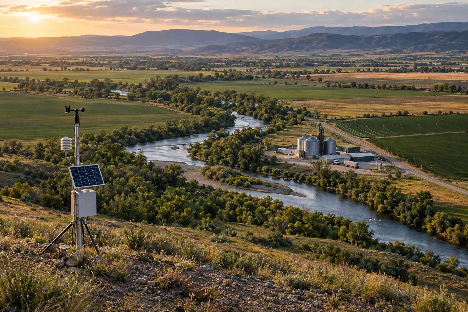
Two structural facts shape every technology conversation at USDA. The first is the Service Center model. USDA operates more than 2,000 field offices where Farm Service Agency, Natural Resources Conservation Service and Rural Development staff sit in the same building, serve the same producers, and work in different systems. Producers experience one government; the software does not.
The second is the Farm Production and Conservation Business Center, which consolidated financial management, information technology and acquisition support for FSA, NRCS and the Risk Management Agency into one service organization. The effect for a vendor is that the person with the problem and the person with the contract sit in different offices with different incentives. A solution pitched only to a program specialist stalls at the IT gate. A solution pitched only to IT never earns a program sponsor. Both audiences have to see themselves in the same document.
Fit for an outside data and AI firm, by USDA mission area
Editorial weighting from public program documents and practitioner reading. Illustrative, not a measured statistic.
The five agencies that own the data
Natural Resources Conservation Service (NRCS). Voluntary conservation on private land. NRCS owns the national soil survey, published as SSURGO and its gridded form gSSURGO, and it owns the Field Office Technical Guide, the state-by-state library of numbered conservation practice standards. Practice 340 is Cover Crop. Practice 590 is Nutrient Management. Practice 328 is Conservation Crop Rotation. Those numbers are the vocabulary of every conservation contract, every payment schedule, and every planning document the agency produces. NRCS also runs the SNOTEL and SCAN sensor networks through its National Water and Climate Center, and the National Resources Inventory, a long-running statistical survey of land use and erosion on non-federal land.
Farm Service Agency (FSA). Program delivery and money out the door: commodity programs, disaster assistance, farm loans, and the Conservation Reserve Program, which the 2018 Farm Bill authorized up to 27 million acres. FSA maintains the Common Land Unit, the field-boundary geometry that anchors acreage reporting, and its Aerial Photography Field Office in Salt Lake City runs the National Agriculture Imagery Program. NAIP is leaf-on aerial imagery of the continental United States at sub-meter resolution, flown on a rotating cycle, and it is in the public domain. It is the single most useful free imagery asset in American agriculture.
Agricultural Research Service (ARS). USDA's in-house research arm, with more than 90 research locations. ARS holds the National Agricultural Library, which publishes the Ag Data Commons catalog, and it runs the Long-Term Agroecosystem Research network of instrumented watersheds and farms. ARS also maintains the germplasm system behind GRIN-Global and the food composition data behind FoodData Central. For a data firm, ARS is where scientifically defensible ground truth lives.
Forest Service (FS). The largest USDA agency by land responsibility, managing roughly 193 million acres of national forests and grasslands. Its Forest Inventory and Analysis program is a continuous statistical census of forest land, published through the FIA DataMart with plot, tree, and condition tables. Fire drives much of the technology demand: fuels mapping, burn severity, post-fire recovery, and the risk products that feed community planning. The Forest Service also runs its own acquisition organization, which means a Forest Service pursuit is a separate campaign from an FPAC pursuit.
National Agricultural Statistics Service (NASS). The department's statistical agency. NASS runs the Census of Agriculture every five years and publishes county-level estimates for hundreds of commodities through the Quick Stats database and its public API. NASS also produces the Cropland Data Layer, an annual 30-meter crop-specific land cover raster with national coverage since 2008. The CDL is the reason a firm can build a credible acreage or rotation analysis for any county in the country without asking anyone's permission.
What the public data actually gives you
| Asset | Owner | What it supports | Access |
|---|---|---|---|
| Cropland Data Layer | NASS | Crop type, rotation history, field-level land cover back through 2008 | CroplandCROS viewer and public API |
| Quick Stats | NASS | County and state estimates for yield, acreage, price, operations, demographics | Free API key, JSON and CSV |
| SSURGO / gSSURGO | NRCS | Soil map units, productivity indices, hydrologic group, interpretations | Web Soil Survey and the Soil Data Access query service |
| NAIP imagery | FSA | Sub-meter RGB and near-infrared imagery for field-scale computer vision | Public domain; mirrored on major cloud open-data programs |
| FIA DataMart | Forest Service | Plot-level forest inventory, growth, mortality, and volume estimation | State CSV and database downloads, plus the EVALIDator tool |
| SNOTEL and SCAN | NRCS | Snow water equivalent, soil moisture and temperature time series | Air and Water Database web service |
Every one of those is free, documented, and refreshed on a published schedule. That matters more than it sounds. Most federal agencies cannot let an outside firm touch operational data before a contract exists. USDA is one of the few places where a firm can build a working analysis of the customer's own problem domain, at no cost to the customer, and walk into the first meeting with results instead of adjectives.
The two rules that shape every USDA data project
Section 1619 and CIPSEA
Section 1619 of the Food, Conservation, and Energy Act of 2008, codified at 7 U.S.C. 8791, bars USDA from disclosing information provided by an agricultural producer or owner for a program participation purpose, including the geospatial information about their land. Separately, the Confidential Information Protection and Statistical Efficiency Act, re-enacted as Title III of the Foundations for Evidence-Based Policymaking Act of 2018 (P.L. 115-435), protects data collected by NASS and ERS for statistical purposes and carries criminal penalties for improper disclosure.
Section 1619 is why the Common Land Unit is not a public download and why farm-level program participation data does not appear in open catalogs. Any architecture that moves producer-identifiable records outside the agency boundary is dead on arrival, and saying so early is a credibility signal. The design answer is to bring the model to the data: run inside the authorization boundary, publish only aggregates, and log what left the boundary and why.
CIPSEA cuts in a related direction. Statistical microdata cannot be repurposed for enforcement or program administration. A firm that proposes joining NASS survey microdata to program payment files has proposed a federal crime, which is a memorable way to lose a meeting. Know the line, name it in the proposal, and design around it.
How USDA buys technology
USDA consolidated most departmental procurement under the Office of Contracting and Procurement in 2018, but contracting officers remain distributed across mission areas, and the Forest Service retains its own acquisition management organization. There is no single door. The practical map looks like this.
Existing vehicles carry most of the work. GSA Multiple Award Schedule orders under the IT professional services categories, GSA OASIS+ for professional services, and the NITAAC CIO-SP family are all in regular use. FAR Part 8 schedule ordering and FAR Part 16 multiple-award task orders move faster than an open-market solicitation, and a firm without a vehicle usually enters as a subcontractor to a prime that has one.
Small business is a real path, not a courtesy. USDA is a heavy user of 8(a) sole-source and set-aside awards, and the department publishes a procurement forecast that lists planned actions with estimated value, NAICS code, and set-aside status. The Office of Small and Disadvantaged Business Utilization runs outreach specifically to connect small firms to mission-area buyers. Reading the forecast against USAspending award history for the same office tells you who holds the incumbent work and when it recompetes.
Commercial acquisition procedures apply. Most analytics and software services buy as commercial services under FAR Part 12, with simplified procedures under FAR Part 13 for smaller actions. That means a firm's commercial pricing, commercial terms, and commercial track record are directly usable, and a firm that can describe its work in commercial-item terms avoids a category of contracting friction.
SBIR is the research door. USDA's SBIR program is administered by the National Institute of Food and Agriculture on a single annual cycle, organized into numbered subject areas including Forests and Related Resources (8.1), Plant Production and Protection Biology (8.2), Animal Production and Protection (8.3), Air, Water and Soils (8.4), Rural and Community Development (8.6), and Plant Production and Protection Engineering (8.13). Phase I is roughly a $175,000, eight-month award; Phase II runs to roughly $650,000 over two years. USDA does not run an open-innovation call the way the defense components do, so subject-area fit is judged strictly.
From cold to contract at a USDA mission area
Where the conservation money is aimed
The conservation side of USDA carries an unusual amount of program funding relative to its administrative capacity, which is exactly the condition that creates demand for outside analytics. The Inflation Reduction Act (P.L. 117-169) directed roughly $19.5 billion to four NRCS conservation programs: the Environmental Quality Incentives Program, the Conservation Stewardship Program, the Agricultural Conservation Easement Program, and the Regional Conservation Partnership Program. That money moved through an agency whose field capacity is measured in conservation planners, and every dollar of it generated obligations to document practices, verify implementation, and report outcomes.
The reporting burden is the opportunity. A conservation contract is a set of numbered practices on specific tracts with specific implementation windows and payment schedules. Verifying that Practice 340 was actually installed on the acres claimed is a remote-sensing and records problem with an enormous manual component today. So is estimating what a portfolio of practices did to sediment or nutrient loss at watershed scale, which is the question the Conservation Effects Assessment Project exists to answer.
On the rural side, Rural Development runs a loan and grant portfolio measured in the hundreds of billions of dollars across electric, telecommunications, water, housing, and business programs. Its ReConnect Program funds rural broadband construction, and its Rural Data Gateway publishes investment data by county and program. Underwriting analytics, service-area validation, portfolio monitoring, and application triage are live problems there, and they look far more like financial services engineering than agronomy.
The appeal is the real requirement
Here is the design constraint most vendors miss. USDA program decisions that go against a producer are appealable. The department runs a National Appeals Division under 7 CFR Part 11, an independent body where a producer can challenge an adverse decision by FSA, NRCS, RMA or Rural Development, with a hearing officer who reviews the record the agency built.
That changes what "good model" means. If an analytic output contributes to a determination about eligibility, acreage, compliance, or payment, someone will eventually ask the agency to explain that output to a hearing officer, in plain language, on the record. An accurate but unexplainable model is worth less than a slightly weaker one whose reasoning can be reconstructed from stored inputs, versioned code, and a decision log. Any firm proposing machine learning inside a USDA program pathway should be able to answer three questions on the spot: what inputs produced this result, which model version produced it, and what would have had to differ for the result to change.
We design USDA-facing systems to that standard from the first sprint. Inputs are hashed and stored, model versions are pinned to outputs, and every determination-adjacent inference writes a human-readable rationale next to the numeric result. It costs a little engineering time up front and it is the difference between a pilot and a program of record.
The unpaid demonstration that opens doors
The most effective business development move in this market costs nothing but engineering hours. Because the public data is genuinely good, a firm can build the thing first and show it. A demonstration that lands has these properties.
- It answers a question the program office already asks in its own vocabulary, using practice numbers, program names, and field terminology correctly.
- It uses only public data, so nothing about it requires an agreement, an ATO, or a data call.
- It covers a real geography the office cares about, at county or watershed scale, not a toy sample.
- It reports error honestly, with a validation split, a confusion matrix or interval, and a named failure mode.
- It shows the record trail a hearing officer or an auditor would need.
- It runs. A link or a short screen capture beats twelve slides describing what would be built.
Examples that work: reconstructing multi-year crop rotations for a county from the Cropland Data Layer, then testing them against soil productivity from gSSURGO. Estimating cover-crop presence from NAIP over a watershed with a stated confidence at each field. Rebuilding a national forest's volume and mortality summary from FIA DataMart tables and checking it against the agency's own published estimates. None of that requires anyone's permission, and all of it shows the firm can read the documentation, handle the formats, and produce a number a specialist can verify.
Where an outside firm actually fits
Our team works the three seams where USDA demand and small-firm capability overlap cleanly. The first is geospatial and remote sensing at production scale: imagery pipelines, land cover modeling, change detection, and the validation work that makes those outputs defensible. The second is records and document engineering: conservation plans, loan files, grant applications, and inspection reports are mostly unstructured text and scanned forms, and extracting them reliably is a measurable engineering problem with a clear accuracy target. The third is decision support that has to survive review, which is where the appeal-record discipline above becomes the product rather than the paperwork.
Precision Federal builds AI, data, and cloud systems for federal customers, and our bench includes licensed professional engineers and domain specialists in environmental data, transportation, energy, and public-sector program delivery. We work as a prime on scoped tasks and as an analytics subcontractor to primes holding USDA task orders. The engineers we assign to agricultural and natural-resource work run the same stack the agencies do: cloud-native raster processing, PostGIS, Python geospatial tooling, and evaluation suites that produce numbers an auditor can reproduce.
Bottom line
USDA rewards preparation more than most federal customers because its data is open enough that preparation is visible. A firm that has read the Field Office Technical Guide, understands why Section 1619 exists, knows which office owns which system, and shows up with a working analysis of a real county is having a different conversation than a firm with a capability statement. The department has hard problems in conservation verification, rural lending analytics, forest inventory, and program integrity, and it buys help from small firms that can prove they understand the work.
Frequently asked questions
The Farm Production and Conservation mission area, through the FPAC Business Center serving FSA, NRCS and RMA, is the largest single concentration. The Forest Service buys separately through its own acquisition organization, and Rural Development buys underwriting and portfolio analytics. NASS and ARS buy smaller, more specialized statistical and research support.
Generally no, and not through a public request. Section 1619 of the 2008 farm bill, at 7 U.S.C. 8791, protects producer-supplied program information including geospatial data about their land. Vendor access happens inside a contract with the appropriate agreements and security authorization, and the system design should keep that data inside the agency boundary.
The Cropland Data Layer and Quick Stats from NASS, SSURGO and gSSURGO soils plus SNOTEL and SCAN sensor data from NRCS, NAIP imagery from FSA, FIA DataMart from the Forest Service, and the Ag Data Commons catalog from the National Agricultural Library. All are public, documented, and updated on a published schedule.
Yes, administered by NIFA on a single annual cycle across numbered subject areas. Software and data work usually fits under Air, Water and Soils, Forests and Related Resources, Plant Production and Protection Engineering, or Rural and Community Development. Phase I is roughly $175,000 over eight months, and Phase II runs to roughly $650,000 over two years.
Because producers can appeal adverse decisions to USDA's National Appeals Division under 7 CFR Part 11. Any analytic output that contributes to an eligibility, acreage, compliance, or payment determination may have to be explained to a hearing officer from the stored record. Version pinning, input retention, and written rationale are requirements, not extras.