You are buying measurements, not a point cloud
A roadway inventory answers questions an agency acts on: where every sign, guardrail run, culvert end and curb ramp is, how wide each lane and shoulder is, what the cross slope does through a curve, and what clearance sits under each structure. Mobile LiDAR is one of the best ways to capture all of that in one pass at highway speed. But the point cloud is not the product. The product is a set of measurements with a known accuracy, delivered in a form your systems can use. Agencies that buy "a LiDAR survey" and then try to work out what they bought usually end up paying twice.
This guide compares the ways to collect LiDAR for roadway work, explains the accuracy terms that appear in every proposal, lists the deliverables and formats to specify, and closes with a checklist for the request for quotes. The aim is to let a program manager or contracting officer write a requirement that vendors can price honestly and that the agency can verify on delivery.
Four ways to collect
LiDAR for roadway inventory comes from four kinds of platforms. They differ in what they see, how accurately, and at what cost per mile, and the right choice depends on the inventory items you need.
| Mode | What it does well | Where it falls short | Typical roadway use |
|---|---|---|---|
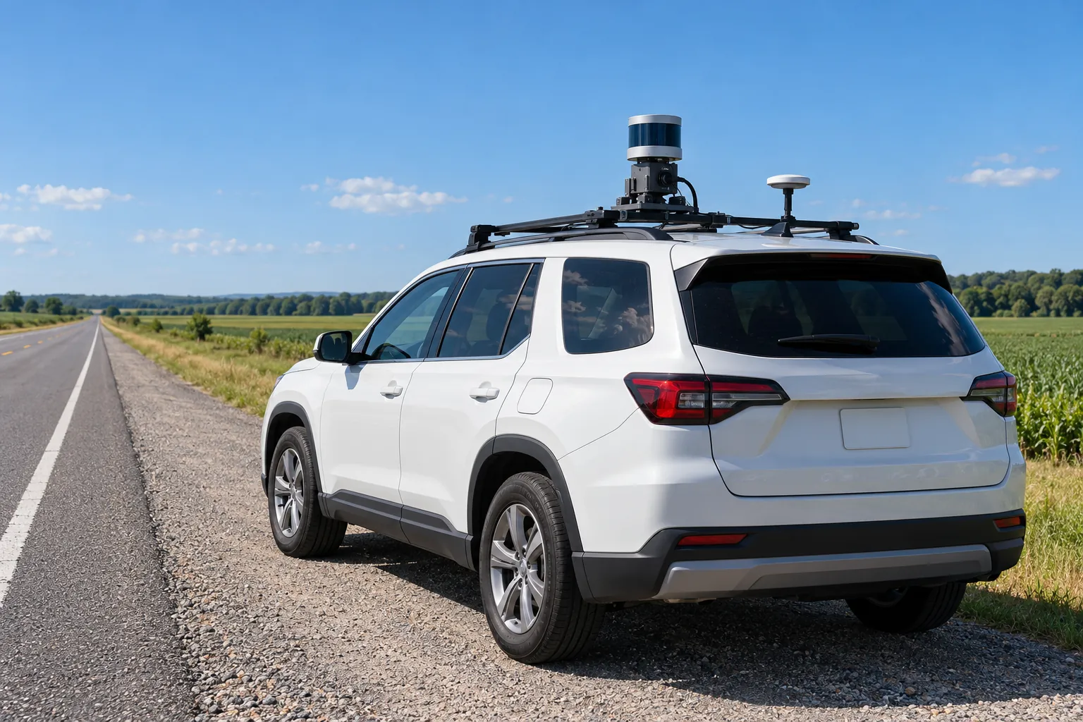
| Mobile Scanner on a vehicle at traffic speed | Dense, detailed capture of the road surface, roadside and vertical features over long distances quickly | Depends on GNSS and inertial quality; sees only what is visible from the travel lanes | Corridor-wide asset inventory, cross slope, clearances, sign and barrier locations |
| Terrestrial Static scanner on a tripod | Highest local detail and accuracy at a fixed site | Slow, many setups per site, crews near traffic | Bridges, interchanges, intersections, crash sites, small detailed areas |
| Airborne Aircraft or helicopter, and drones for small areas | Terrain and drainage over wide areas, including land the road cannot see | Lower density on vertical faces such as signs; less detail on the pavement itself | Corridor planning, drainage, terrain models, right-of-way context |
| Phone or tablet based Short-range sensors on consumer devices | Quick, low-cost capture of small features at walking distance | Short range and drift over distance; not survey grade | Curb ramps, small structures, field verification of a single asset |
Many inventories mix modes: mobile for the corridor, terrestrial for structures that need more detail, airborne for terrain beyond the roadside. When they are mixed, the requirement must say how the datasets will be tied to the same control so they line up.
Point density: what it buys and what it does not
Point density is the number of points per unit area, usually per square meter. Mobile systems produce very high density near the vehicle, often hundreds to thousands of points per square meter on the pavement, falling off with distance from the scanner. Density determines what you can resolve: a lane line, a pavement crack, the edge of a sign panel, a guardrail post.
Density is not accuracy. A dense cloud can be dense and wrong, shifted as a whole by a GNSS error. Density also varies across a single collection, so a single headline number means little. Specify the minimum density needed on the surfaces that matter for your inventory items, such as the travel lanes, the shoulders, or vertical faces within a stated distance of the edge line. Ask the vendor to report density across those surfaces, not an average over everything.
Absolute and relative accuracy
Two accuracy terms appear in every proposal, and they mean different things.
Absolute accuracy is how close a point is to its true position in the stated coordinate system. It matters when inventory items must sit correctly on an agency map, line up with right-of-way records, or be found again in the field by coordinates.
Relative accuracy is how well points agree with each other: whether the width of a lane measured in the cloud matches the width on the ground, whether two passes over the same road agree. It matters for measurements within the scene, such as lane widths, cross slope, clearances and sight lines.
A system can have excellent relative accuracy and poor absolute accuracy, because a constant shift does not change measurements within the scene. Decide which one your use requires, and state both in the requirement. Accuracy is commonly expressed as root mean square error (RMSE), computed by comparing the cloud with independently surveyed points. The ASPRS Positional Accuracy Standards for Digital Geospatial Data are the usual reference for how to test and report it, and it is reasonable to require reporting in that framework.
Ground control and check points
Mobile LiDAR is positioned by GNSS and an inertial measurement unit on the vehicle. Ground control points, which are surveyed targets or features along the route, are used to adjust the trajectory and correct errors. Check points are separate surveyed points used only to test the result.
The separation matters. If the same points are used to adjust the data and to test it, the test proves only that the adjustment worked on those points. Require that check points be independent of the control, surveyed to a higher accuracy than the target accuracy of the cloud, and distributed along the corridor, including in the places where GNSS is weakest. Ask how many there will be per mile and how they will be surveyed.
Where GNSS and inertial positioning drift
The vehicle's trajectory is the foundation of every point. When satellite signals are blocked, the inertial unit carries the position forward on its own, and its error grows with time. The result is drift: a slow shift in position that the cloud inherits.
Drift concentrates in predictable places: urban canyons, tunnels, under overpasses and long bridges, deep cuts, and under dense tree canopy. A good collection plan addresses them with more control points in those areas, multiple passes, slower speeds through problem sections, and higher-grade inertial units. A good QA report shows where drift happened and how it was corrected. If a proposal claims a single accuracy figure for the whole corridor without discussing the hard sections, ask about them directly.
The trajectory tells you where to look
Every mobile collection produces a trajectory solution with an estimate of its own quality over time. Ask for it as a deliverable, along with a map showing where the estimated error was highest. It is the quickest way to find the sections that deserve extra check points, and it costs the vendor nothing to provide.
Deliverables to specify
The point cloud is the raw material. Most agency value comes from what is extracted from it. Specify each deliverable separately, because each has its own cost and its own QA.
- Classified point cloud. Points labeled by class, such as ground, vegetation, buildings and noise, using the ASPRS standard classes plus any agreed additional classes for road surfaces or structures.
- Extracted features. Signs, poles, barriers, curbs, lane lines, ramps, drainage structures and other assets as points, lines or polygons with attributes defined in a data dictionary.
- Measurements. Lane and shoulder widths, cross slope, grade, curve radius, vertical clearances, each at a stated interval or location.
- Surface models. A terrain or pavement surface where drainage, grading or design work needs it.
- Imagery. Georeferenced photos captured with the scan, which make extracted features far easier to verify and use.
- Trajectory and QA reports. The positioning solution, the control and check point results, and the methods used.
The feature list is where requirements most often go wrong. Write a data dictionary: for each asset type, what geometry, which attributes, how attributes are determined, and how completeness will be measured. "Signs" is not a requirement. "All sign assemblies within the right-of-way, as points at the base of the support, with panel count, mount height and facing direction" is.
Formats and the coordinate system
Point clouds are normally delivered in LAS, the open format maintained by ASPRS, or LAZ, a lossless compressed form of LAS that is much smaller and widely supported. Terrestrial scans are often exchanged in E57. Specify the LAS version, the required fields such as intensity, return number, classification and GPS time, and how the data will be tiled so files are a usable size.
Extracted features should arrive in a format your GIS and asset systems can load directly, such as a geodatabase, GeoPackage or shapefiles, following your schema. Ask for a sample tile and a sample feature set early, and load them into your systems before the full delivery.
State the coordinate system completely: horizontal datum and realization, vertical datum, geoid model, projection or state plane zone, and units. The U.S. survey foot was deprecated at the end of 2022, but legacy projects and records still use it, so say which foot. Most alignment problems between a new inventory and existing records trace back to a coordinate system described loosely in the requirement.
What the QA report should contain
The QA report is the vendor's evidence that the delivery meets the requirement. Require it as a deliverable with defined content: the control and check point survey methods, the check point results with RMSE for each axis and the individual residuals, the trajectory quality summary, relative accuracy between overlapping passes, density on the specified surfaces, classification accuracy on a sample, and completeness and attribute accuracy for extracted features on a sample checked against imagery or field visits.
Ask for residuals, not only summaries. A small RMSE can hide a cluster of large errors in one section of the corridor, and the residual list is where that shows up.
Verifying accuracy claims
Do not rely solely on the vendor's check points. Hold back your own. Before or during collection, have your survey staff or a separate surveyor measure a set of points along the corridor that the vendor does not see, including some in the places where drift is likely. When the data arrives, compare the cloud with your points and compute the same statistics.
Verify measurements too. Pick a sample of lane widths, clearances or cross slopes and measure them in the field. Check a sample of extracted features against imagery and site visits for location, attributes and completeness. Count missed assets, not just the accuracy of the ones found. A sign inventory that is perfectly located but missing one sign in ten is not complete.
Write the acceptance test into the requirement, with the thresholds and what happens if the delivery fails them, such as rework of the affected sections at the vendor's cost. Vendors price accuracy differently when they know it will be tested independently.
What drives the cost
Prices vary widely, and the reasons are usually visible in the requirement. The main drivers:
Feature extraction. In many projects, extracting and attributing assets costs more than collecting the data. Each asset type, each attribute and each completeness target adds effort, often including manual review.
Accuracy and control. Tighter absolute accuracy means more control points, more survey crew time and more processing. Ask for what the use requires, not the tightest number available.
Passes and traffic. Divided highways need passes in each direction, wide roads need multiple lanes, and heavy traffic may push collection to nights or weekends.
Difficult positioning environments. Urban cores, tunnels and canopy need more control and more processing.
QA depth and schedule. More sampling, more independent checks and faster delivery all cost more. They also catch the problems that would cost more later.
A checklist for the request for quotes
Include these items in the requirement, and vendors can quote the same scope:
- The corridor: route list, mileage, directions, lanes and any sections needing special handling
- The inventory purpose and the decisions the data will support
- Absolute and relative accuracy targets, with the test method and reporting framework
- Control and check point requirements, including independence and distribution
- Minimum density on named surfaces rather than a single average
- A data dictionary for each extracted asset type, with geometry, attributes and completeness targets
- Formats, versions, tiling and the full coordinate system, including units
- Imagery requirements, if any
- QA report contents, including residuals
- The agency's own acceptance test and the remedy for failure
- Schedule, sample delivery and a pilot section before full production
- Data rights and the agency's right to share the data with other agencies and contractors
A pilot section is the most useful item on the list. A few miles collected, processed and delivered in full before the rest of the corridor will reveal mismatched expectations about features, formats and accuracy while they are still cheap to fix. Public guidance such as NCHRP Report 748, Guidelines for the Use of Mobile LIDAR in Transportation Applications, is also worth reading before writing the requirement.
Frequently asked questions
Work back from the use. Measurements within the scene, such as lane widths and clearances, depend on relative accuracy. Placing assets on agency maps and matching existing records depends on absolute accuracy. Specify both, tested against independent check points and reported as RMSE with residuals.
For assets and measurements on and beside the road, usually yes, because mobile scanners capture the pavement and vertical features in far more detail. Airborne collection is better for terrain and drainage across wide areas. Many projects combine the two on common control.
LAS is the open point cloud format maintained by ASPRS. LAZ is a losslessly compressed version of LAS, much smaller, and supported by most point cloud software. Many agencies accept LAZ for delivery and archive.
Survey your own independent check points that the vendor does not see, including in tunnels, canopy and urban sections where drift is likely, and compare them with the delivered cloud. Also field-check a sample of measurements and extracted features for location, attributes and completeness.