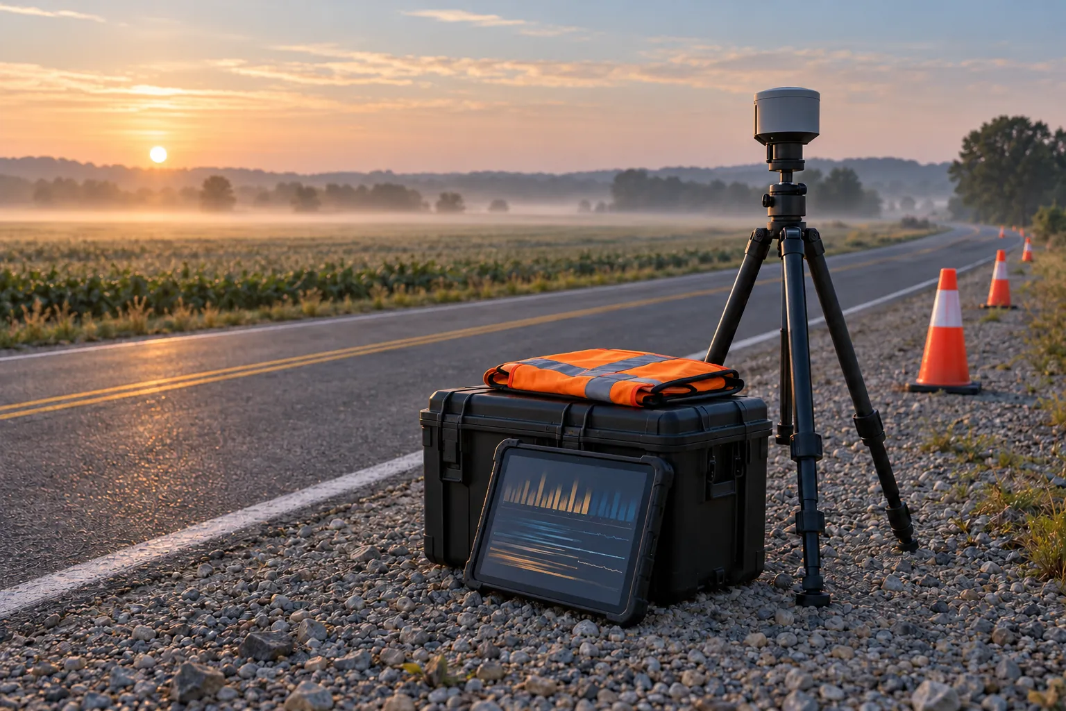
The first day out decides the dataset
A roadway or community study lives or dies on its first field day. Everything after it, the models, the charts, the report a program office reads, inherits whatever happened on that shoulder at six in the morning. A dead battery becomes a gap in the record. A camera clock that drifted four seconds becomes a mismatch nobody can explain in month three. A file named "video_final_2" becomes a week of forensic work. None of these failures are dramatic, and all of them are preventable on paper the week before.
This is a planning guide for that first day. It is written for the analyst or program manager who owns the study and has to answer for the data, whether or not they are the person standing next to the tripod. The goal is simple: come home with data you can defend, from sites you were allowed to be at, with nobody hurt.
The work splits into three windows. The weeks before the trip, where most of the risk is retired. The day itself, which should run from a written script. And the evening after, when the data is checked while the crew still remembers what happened.
Choose sites on paper, then confirm them in person
Site selection starts with the study question, not with convenience. If the question is about speed behavior on rural curves, the sites are rural curves with the geometry, volume and posted speed the question cares about. Write down the selection criteria before anyone opens a map, and record why each site qualified. A reviewer will ask, and "it was close to the hotel" is not an answer.
Then do the desk work. Aerial imagery and street-level imagery tell you where a vehicle can pull off safely, where sight lines to the sensor are clear, and whether a tree has grown over the spot you wanted. Agency crash data, traffic counts and speed data, where available, tell you whether the site behaves like the population you are sampling. Mark a primary and an alternate for every site, because something will be wrong with at least one primary when you arrive.
Finally, visit. A reconnaissance pass, ideally at the same time of day as the planned collection, catches what imagery cannot: a new driveway, construction staging, a shoulder too soft for a tripod, a neighbor who will want to know what you are doing. Photograph each setup location from the approach and from the sensor position. Those photos become part of the field-day runner.
Permissions come before equipment
Being on a public road is not the same as being allowed to set up equipment beside it. Most state and local road owners require some form of permit for work in the right-of-way, often called an encroachment, right-of-way or lane-use permit, and the lead time ranges from days to weeks. The permit may specify hours, traffic control, insurance certificates and who must be notified before you start.
Build the permission list per site, and assume more than one party is involved:
- The road owner. State DOT district, county road department or city public works, depending on the route. Each has its own form and its own contact.
- Adjacent landowners. If a tripod, a cone or a parked vehicle sits on private property or a farm access, get written permission with a name and phone number.
- Law enforcement. A courtesy call to the local agency or state patrol prevents a stop that costs you an hour and gives you a contact if a driver complains.
- The sponsoring agency. The program office or contracting officer's representative should know the dates and sites, and some studies require their sign-off before collection begins.
- Utilities and rail. Mounting anything on a pole or working near a crossing involves owners who are neither the road agency nor the landowner.
- Your own review board. If the study records or surveys people, the human subjects determination happens before the field day, not after it.
Keep every approval in one folder that travels with the crew, printed and on a phone. A permit nobody on site can produce does not help when a supervisor pulls over to ask.
Safety and traffic control at a working level
Most observational studies try to stay entirely off the travel lanes, and that is the right default. Set up behind a barrier, beyond the shoulder, or on a side road with a clear view. The study design should bend around a safe sensor location, not the other way around.
When the work does touch the roadway, temporary traffic control applies. In the United States, Part 6 of the Manual on Uniform Traffic Control Devices governs temporary traffic control, and the road owner's permit usually points to its own standard plans built on it. Do not improvise a work zone. If a lane closure or shoulder closure is needed, use the agency's typical application, hire a traffic control provider if the crew is not trained, and put the plan in the runner.
The basics apply to every field day regardless: high-visibility safety apparel that meets ANSI/ISEA 107 for anyone on foot near traffic, a vehicle parked well off the edge line with warning lights where permitted, a rule that nobody turns their back to oncoming traffic, and a named person who watches traffic while others work. Set a hard stop condition in writing, such as visibility falling below a stated distance or a near-miss of any kind, and give every crew member the authority to call it.
The equipment list is a test plan
An equipment checklist that only names objects is half a list. Every line should state the check that proves the item works, and the check happens the evening before, not at the site. Here is the core list for a typical roadside sensor day.
- Sensors with serial numbers recorded against the site plan, so every file traces to a physical unit
- Batteries charged and labeled with charge date, with spares totaling at least one and a half times the planned run time
- Storage cards formatted in the device and capacity checked against the planned recording rate and duration
- Tripods, mounts and ballast rated for the wind forecast, with a test of how the mount behaves when a truck passes
- A GNSS receiver or phone app logging time and position as the reference clock for the day
- Calibration targets such as a measured tape, survey stakes, a known-length bar or a reflective target
- A laptop or tablet that can open every file type the sensors produce, for checks on site
- Two backup drives plus a checksum tool installed and tested
- Printed runner, site photos, permits and contact sheet in a waterproof sleeve
- Safety kit: apparel, cones or devices required by the permit, first aid, water, flashlight
Run a full dress rehearsal in a parking lot: mount, power, record for an hour, pull the files, back them up, and open them on the laptop. This single hour finds more problems than any amount of reading manuals, and it tells you how long setup really takes.
Calibrate before, during and after
Calibration is the evidence that a measurement means what you say it means. For a speed sensor, it is a run past the sensor in a vehicle at known speeds, with the speed verified independently. For a camera used to measure distances or positions, it is a set of surveyed points visible in the frame. For a counter, it is a manual count of a defined interval to compare against the automated count.
Do it at the start of the day, repeat a short check in the middle, and close with one at the end. The middle and end checks matter more than people expect. A mount that sagged in the afternoon heat, a camera nudged by a gust, or a sensor that warmed up and drifted shows up only when you compare the morning check to the evening one. If the two disagree, you now know which window of data needs a second look.
One clock for every device
Clock synchronization is the failure that hides longest. Each device keeps its own time, and consumer devices drift. If a video camera, a radar unit and a GNSS logger each disagree by a few seconds, events no longer line up, and fusing them becomes guesswork.
Pick one reference clock for the day, usually GNSS time from a receiver, and tie every device to it. Set clocks from the same source at setup. Then, at the start and end of every recording, show each camera a screen displaying the reference time and record the offset, the field equivalent of a film clapperboard. For sensors that cannot see a screen, generate a timed event they will all register, such as a vehicle pass at a noted time.
Write down which time scale every device uses. GPS time runs ahead of UTC by 18 seconds because it does not apply leap seconds, and some devices log one while others log the other. Note the time zone and whether daylight saving applies. Store timestamps in ISO 8601 with an explicit offset. These details look pedantic until two datasets are an hour and eighteen seconds apart.
File names, metadata and the backup rule
Decide the naming convention before the trip and print it in the runner. A good name sorts correctly and tells you what the file is without opening it: date, site identifier, device identifier, and a sequence number, for example 20260614_S03_CAM2_0007.mp4 as an illustration. Never rename raw files later. If a file needs a different name for analysis, make a copy and keep a mapping table.
Alongside the files, keep a short metadata record per site and device: serial number, mount height and orientation, start and stop times, clock offset, calibration results, weather, and anything unusual. A plain spreadsheet works. The record is what lets someone who was not there use the data a year from now.
Backups follow the familiar rule of three copies on two kinds of media with one copy away from the vehicle. In practice: the original card, a backup drive, and a second drive or an upload that night. Generate a checksum for every file at the first copy and verify it at each subsequent copy. Do not format a card until two verified copies exist.
Weather and the go or no-go call
Weather does three things to a field day. It changes driver behavior, which may or may not be what the study wants to measure. It degrades sensors: rain on a lens, fog for an optical system, glare at low sun angles, wind on a mast. And it changes safety, because wet shoulders and low visibility raise the risk for the crew.
Write the go or no-go criteria in advance, tied to the study design. If the question is about dry-weather behavior, then any precipitation is a no-go, and you plan backup dates from the start. Make the call at a fixed time the evening before, based on a named forecast source, and record the decision. Keep spare permit days in reserve where the permit allows it, since rescheduling a permit can take as long as getting one.
Ground truth you collect on purpose
Every automated measurement needs a set of observations made another way, so you can say how well the automated one performed. Treat it as part of the collection, not a luxury for a later validation phase. Ground truth has to be collected on the same day, at the same site, under the same conditions, or it does not validate anything.
Plan it as a sample. Choose defined intervals for manual counts or classifications, chosen in advance rather than when the crew has spare time, so the sample is not biased toward easy periods. For speeds, use an independent instrument on a subset of vehicles. For positions, survey a few physical points with a higher-grade receiver or tape. Record who collected each ground-truth observation and how, because the person making a manual count is also a measurement instrument with an error rate.
When people are in the data
Roadway studies often record people without meaning to: faces through windshields, license plates, pedestrians, cyclists. Community studies record them on purpose, through intercept surveys or interviews. Either way, plan for it before the field day.
If the study involves interacting with people or collecting identifiable information about them, the sponsoring agency or your institution will likely require a human subjects determination, and consent procedures follow from that. Intercept surveys need a consent script, a way to decline without pressure, and a plan for what is recorded. For video, decide what resolution you actually need. A camera framed and focused to classify vehicles rarely needs to resolve a face, and choosing that setup on purpose is a privacy control. Plan for blurring or removing identifiable details in any shared copy, and restrict access to raw footage.
Signage helps. A simple sign identifying the study and a contact number reduces confrontation and gives the public a way to ask questions. Brief the crew on what to say when someone approaches, and keep it short and accurate.
The field-day runner
The runner is a written script for the day, short enough to read on a clipboard. It lists each site with its arrival time, setup steps, calibration steps, recording window, ground-truth schedule, teardown and departure. It names who does what, the contact numbers, the stop conditions and the go or no-go decision. A crew working from a runner makes fewer mistakes at hour nine than a crew working from memory at hour one.
A first field day, from the night before to the evening after
Durations are illustrative for a single roadside site with two or three sensors. Time the dress rehearsal and use your own numbers.
Same-day quality checks
The evening check is the last chance to fix a problem cheaply. If a camera recorded nothing, you can go back tomorrow. If you find out in two weeks, the site, the permit and the weather window are gone.
Check every device, not a sample of devices. Confirm each file opens, the duration matches the planned window, the timestamps fall in the expected range, and the content looks right at the start, middle and end. Compare automated counts against the ground-truth intervals for a rough sense of whether anything is badly off. Record every issue in the log with the file name, and decide that night whether it requires a return trip.
| Common field failure | What it costs | Prevention |
|---|---|---|
| Battery or storage runs out mid-window | A gap in exactly the period you planned to measure | Measured run time in the dress rehearsal, spares at one and a half times plan, a midday check |
| Clocks disagree across devices | Events cannot be fused or matched to ground truth | One reference clock, recorded offsets at start and end of every recording |
| Sensor moved during the day | Calibration no longer applies to part of the record | Rated mounts and ballast, photos of the mount, calibration checks at start, middle and end |
| Files misnamed or overwritten | Data cannot be traced to a site or device | A printed naming convention, raw files never renamed, cards formatted only after two verified copies |
| Ground truth collected only when convenient | Validation is biased toward easy conditions | Ground-truth intervals fixed in the runner before the day |
| Permit or contact missing on site | Collection stopped by a supervisor or officer | A permissions folder printed and on a phone, with names and numbers |
Chain of custody for data
For research that will inform a federal decision, someone may later ask whether the data could have been altered. Chain of custody answers that question. It does not need to be elaborate. It needs to be consistent.
Record who collected each file, when it was copied, by whom, to where, and the checksum at each step. Keep raw data read-only once it reaches the project's storage, and do all processing on copies. Log every transfer to the sponsoring agency with the file list and checksums. If a file is ever excluded from analysis, record why and keep it. A dataset with a clean custody record can survive a challenge to the findings. One without it forces the argument onto whether the data can be trusted at all, which is a much worse place to be.
Write the field log as if a stranger will read it
Every note in the field log should make sense to someone who was not there: the time, the site, the device, what happened and what was done about it. "Cam 2 weird around lunch" helps nobody. "S03 CAM2 bumped by wind at 12:14 local, re-leveled, offset rechecked at 12:20, calibration repeated" lets an analyst a year later decide exactly which minutes to trust.
Frequently asked questions
Start with the slowest dependency, which is usually a right-of-way permit or a human subjects determination. Those can take weeks. Site reconnaissance, equipment rehearsal and the runner fit inside that window, and backup dates should be booked at the same time as the primary dates.
It depends on where the crew and equipment sit and what the road owner's permit requires. Setups well off the roadway often need little beyond safe parking and high-visibility apparel. Anything in or next to a travel lane or shoulder calls for temporary traffic control under the MUTCD and the agency's own standards.
Missing context more often than missing files. Data without synchronized clocks, calibration records or a log of what happened on site can rarely be fixed later. Most of these problems are prevented by the dress rehearsal and caught by the same-day quality check.
Enough to estimate the error of the automated measurement with the precision the study needs, spread across the conditions that matter, such as time of day, traffic level and lighting. Fix the intervals before the day so the sample is not chosen by convenience, and record who collected each one.