
Two jobs, two chains of command
The National Geospatial-Intelligence Agency does two jobs at once, and a vendor who misses that will misread every conversation. NGA is a combat support agency inside the Department of War, and it is simultaneously one of the elements of the Intelligence Community. Congress wrote the mission into statute: 10 U.S.C. § 467 defines geospatial intelligence as the exploitation and analysis of imagery and geospatial information to describe, assess, and visually depict physical features and geographically referenced activities on the earth. Chapter 22 of Title 10 gives NGA the job of producing that intelligence, delivering it to commanders and policymakers, and serving as functional manager for everyone else who produces it.
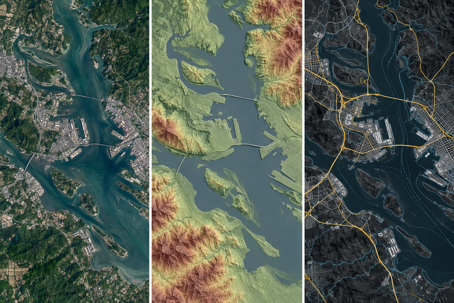
The agency's shape explains its portfolio. It was stood up in 1996 as the National Imagery and Mapping Agency by folding together the Defense Mapping Agency, the National Photographic Interpretation Center, and the imagery-tasking parts of the Central Imagery Office. The FY2004 National Defense Authorization Act renamed it NGA. That lineage is why one agency publishes nautical charts, maintains the geodetic reference frame under GPS, and runs production computer vision models against satellite imagery. Those are not three agencies wearing one badge. They are one mission with a very wide surface.
The dual role has a practical effect on money. As a combat support agency, part of NGA runs on the Military Intelligence Program and answers to the Secretary of War and the combatant commands. As an intelligence element, part of it runs on the National Intelligence Program and answers to the Director of National Intelligence. The NIP topline is disclosed once a year and sits in the low-to-mid seventy billions. The NGA line inside that topline is not public. You cannot look up this customer's budget, so you read its vehicles, its awards, and its research announcements instead.

Where the work physically happens
NGA Campus East in Springfield, Virginia, on the Fort Belvoir North Area, is headquarters and holds much of the enterprise IT and program-office population. NGA Campus West is in St. Louis. Next NGA West, a 97-acre, $1.7 billion campus in north St. Louis, opened in early 2026, with the workforce completing its move from the old Soulard building through the spring. Add the legacy Arnold, Missouri site, the Aerospace Data Facilities, and NGA Support Teams embedded directly with combatant commands and other agencies.
Geography is commercial information. St. Louis is now a second center of gravity for GEOINT work with a contractor base that has grown around it, and the agency has deliberately built unclassified collaboration space there. Where your engineers can physically sit, at what clearance, on which network, decides which work you can win before anyone reads your technical approach. A firm with cleared people who can badge into a Springfield or St. Louis space competes for a different set of task orders than a firm working entirely at the unclassified level.
The offices that hold the budget
NGA Research. The research arm funds early technology through its Boosting Innovative GEOINT – Research announcement, first published in July 2020 and refreshed with new calls since. Its three standing focus areas are Foundational GEOINT, Advanced Phenomenologies, and Analytic Technologies. Research calls are also mapped to NGA mission imperatives that have included assured positioning, navigation, timing and targeting; accelerated tasking and orchestration; data access and integrity; and analytic workflow modernization. This is the front door for a firm with a method rather than a product.
The source and commercial side. NGA buys commercial GEOINT analytic services and commercial data products, and it sets the standards for how commercial content enters the National System for Geospatial-Intelligence. Note the division of labor that trips up new vendors: since 2022 the National Reconnaissance Office, not NGA, holds the big commercial electro-optical imagery contracts awarded that May to Maxar, Planet, and BlackSky. NGA is the customer and the functional manager for how that imagery gets exploited. If you sell pixels, your buyer is NRO. If you sell what the pixels mean, your buyer is NGA.
Analysis and Operations. Analysis owns the tradecraft and the analysts. Operations owns collection management, tasking, and the delivery of finished GEOINT to customers. These offices generate the requirements that turn into task orders. They are where an engineering firm learns what is actually broken, which is why the analyst-facing pilot matters more than the architecture diagram.
The CIO and enterprise IT. Networks, cloud, identity, data services, and the accreditation machinery. Any model you deliver runs on their infrastructure under their authority to operate, so the CIO organization is a stakeholder in work you might think is purely analytic.
The Office of Small Business Programs. OSBP is not a courtesy office. It publishes the forecast, runs outreach events, and is the office that will tell you honestly whether a requirement is set aside, whether it is going to a vehicle you cannot reach, and which primes are looking for exactly your skill. Small firms that treat OSBP as their first call move faster than firms that start by cold-emailing program offices.
Realistic entry paths for a small engineering firm
Editorial weighting from public sources and practitioner reading — illustrative, not a measured statistic.
The data, and why it is the real product
NGA's holdings are wider than imagery. A firm that talks only about object detection is selling into one corner of the mission and signaling it has not read the agency. Foundation GEOINT is the layer everything else registers against, and much of it is published openly.
- Geodesy and gravity – WGS 84, the reference frame that GPS positions resolve into, plus the Earth Gravitational Model and the World Magnetic Model that NGA maintains with NOAA and the British Geological Survey.
- Maritime safety – digital nautical charts, the weekly Notice to Mariners, and anti-shipping activity reporting, published through the agency's public maritime safety portal.
- Aeronautical data – flight information files that feed mission planning systems across the services and allied partners.
- Names and features – the GEOnet Names Server, the authoritative source for foreign geographic names, an underrated corpus for entity resolution work.
- Elevation and 3D – terrain and surface models at varying resolutions, increasingly point-cloud and mesh rather than raster grid.
- Imagery and derived layers – national technical means plus commercial electro-optical, synthetic aperture radar, and spectral collections, with the derived features and change products built on top.
The agency also runs an open-source presence that is a free credibility path. NGA sponsored GeoPackage as an Open Geospatial Consortium standard and publishes libraries for it, along with mobile collection and vector conflation tools, under its public GitHub organization. Contributing there is public, checkable engineering work in the customer's own stack. It costs nothing but effort and it is visible to the people who write requirements.
Contract vehicles and how work actually flows
NGA rarely buys a novel capability through a standalone competition. Most dollars move through multiple-award IDIQs and blanket purchase agreements that were competed years earlier, then flow out as task orders and delivery orders against them. Reading the vehicle list tells you who your realistic teaming partners are.
| Vehicle or path | What it buys | What it means for a small firm |
|---|---|---|
| Luno A | Commercial GEOINT analytic services using computer vision and machine learning to monitor economic, environmental, and military activity. Five-year IDIQ, $290 million ceiling, ten selected vendors announced in September 2024. | Delivery orders have run from single-digit millions to roughly $25 million. Subcontract or data-supply position under a selected vendor. |
| Luno B | Integration of commercial AI tools and analytic services into NGA workflows. Five-year IDIQ, $200 million ceiling, thirteen selected vendors. | The awardee list mixes large integrators with focused geospatial firms, which is the clearest published signal of who to approach for teaming. |
| CIBORG | Commercial Initiative to Buy Operationally Responsive GEOINT. Routes commercial earth-observation data, products, and services through GSA schedules and blanket purchase agreements. | A GSA Multiple Award Schedule contract turns into a reachable path for a commercial product or service. |
| IGAPP / app store | The app-provider program that lets developers publish GEOINT applications for government users and earn per-download revenue. | Historically small-business heavy. One of the few paths where a developer keeps the product and still gets paid by government users. |
| JANUS | Long-running multiple-award vehicle for topographic and human-geography content management, with a ceiling reported near $920 million across ten years. | Content production and data-curation labor at scale. Subcontract territory, and steady. |
| BIG-R BAA | NGA Research's standing broad agency announcement across Foundational GEOINT, Advanced Phenomenologies, and Analytic Technologies. | White paper first, full proposal on invitation. The lowest-overhead way to put a real method in front of the agency. |
Maven, and what it changed
The GEOINT portions of Project Maven moved from the Department's algorithmic warfare effort to NGA in January 2023, and Maven became a program of record that November. That transfer is the single most useful fact for a firm selling AI into this agency. It means computer vision against imagery is no longer an experiment looking for a home. It is a funded, sustained program with model management, test and evaluation, labeling pipelines, and deployment infrastructure behind it.
The practical consequence is that the bar moved. Demonstrating that a detector works on a public benchmark is table stakes and buys nothing. What the program needs is the unglamorous surrounding machinery: labeling quality control at volume, model monitoring when the sensor or the season changes, evaluation against operationally representative distributions, retraining pipelines that survive a data-rights review, and honest reporting of false-detection rates. Firms that build that layer well are useful to every model owner in the building.
SBIR, and the fact most vendors do not know
NGA runs a Small Business Innovation Research program, and it is the only Intelligence Community element that does. Other IC members are exempt from the SBIR requirement. NGA's topics publish inside Department of War SBIR releases and are submitted through the same portal as every other component, alongside the Army, Navy, Air Force, DARPA, DLA, DTRA, MDA, and SOCOM.
The mechanics match the rest of the Department. Phase I feasibility awards run six to nine months with a ceiling in the mid two hundred thousands. NGA has also published Direct-to-Phase-II calls with a $1 million ceiling over 24 months for firms that can document prior feasibility work at their own expense. For a firm with working code and a real dataset, Direct-to-Phase-II is the fastest legitimate route from zero relationship to a funded contract with this customer, because it skips the feasibility phase you have already privately completed.
Topics tend to track the agency's own imperatives rather than generic AI language. Assured positioning and navigation when GPS is unavailable, automated content extraction from imagery and text, data conflation across sources that disagree, and analytic workflow modernization all recur. Reading three years of past NGA topics is a better market study than any analyst report you can buy.
The gates: clearance, facility, and distribution control
Access is the filter that removes most competitors before technical merit is ever discussed, and it comes in three separate layers that vendors routinely confuse.
Personnel. Most NGA work at the mission level requires TS/SCI, and much of it requires a counterintelligence polygraph. Intelligence Community Directive 704 governs eligibility for access to sensitive compartmented information. Sponsorship comes through a contract, which produces the familiar ordering problem: you need the work to get the clearance and the clearance to get the work. The standard solution is a cleared teammate. A subcontract under a prime whose people are already cleared gets your engineering onto the program while your own facility paperwork matures.
Facility and systems. Facility clearances run under the National Industrial Security Program at 32 CFR Part 117. SCIF construction and accreditation follow ICD 705. IC information systems are accredited under ICD 503, which adopts the NIST SP 800-53 control catalog with IC-specific overlays. Classified work rides JWICS, and IC cloud workloads run on the Commercial Cloud Enterprise multi-vendor award made in November 2020 to Amazon, Microsoft, Google, Oracle, and IBM, reported with a ceiling as high as $10 billion. If your product only runs on a commercial region with an internet-facing control plane, it does not run here.
Distribution control on the data itself. This one is quietly decisive and it is solvable without a clearance. A great deal of NGA foundation data is unclassified but carries limited-distribution or export-controlled markings under the Department's distribution statements. To receive that category of technical data as a contractor, a firm must be certified under the U.S./Canada Joint Certification Program by submitting DD Form 2345 to the Defense Logistics Agency. Certification takes weeks, not years, and it costs nothing but the paperwork. Our team holds it, and it is the cheapest credential in federal contracting relative to what it opens.
Where a small engineering firm realistically fits
Be honest about the shape of the market. The enterprise IT awards and the billion-dollar content vehicles go to large integrators, and no amount of ambition changes that in one cycle. The work available to a strong small firm is more specific and, frankly, more interesting.
The first lane is the analytic-quality layer around models that already exist: evaluation suites, drift monitoring, labeling quality control, and provenance tracking that lets an analyst see why a system produced a call. The second is data engineering across sources that disagree, which is most of the real problem in foundation GEOINT and almost none of the marketing. The third is the narrow phenomenology, the SAR or spectral or geodetic problem where a general-purpose vision team has no advantage and a specialist does. The fourth is the app-provider path, where a small team ships a usable tool to actual users without competing for a services award at all.
Our engineers build in exactly those lanes: production ML and data pipelines that run inside a customer's accredited environment, with the test evidence, the documentation, and the deployment discipline that lets a program office defend the system to its own authorizing official. We work as prime or as subcontractor, and on a GEOINT program the subcontract position is usually the faster start.
A 90-day entry sequence that actually works
How to talk to this customer
Three habits separate vendors who get a second meeting from those who do not. Use the agency's own vocabulary correctly: foundation GEOINT, tradecraft, the National System for Geospatial-Intelligence, functional manager. Getting these wrong signals that you have read a press release rather than the mission. Second, bring a number. Not "high accuracy" but a measured detection rate on a named dataset, with the false-detection rate stated in the same breath. Analysts live with false positives and will trust you more for volunteering yours. Third, respect the classification boundary in the first conversation. Ask what you may be told rather than fishing, and describe your work at the unclassified level cleanly. Discipline about what you do not ask for is itself a credential.
One more thing worth saying plainly. This agency has a public face that most vendors ignore. It publishes charts, geodetic models, place names, and open-source software, and it supports domestic disaster response with unclassified imagery products. Everything you need to build a serious demonstration exists in the open. There is no excuse for showing up empty-handed and asking for data.
Bottom line
NGA is a wide-surface customer with a narrow entry. The mission spans geodesy to computer vision, the money moves through vehicles competed years ago, and access is gated on personnel clearances, facility accreditation, and distribution control before technical merit enters the conversation. A small engineering firm gets in by picking one specific problem inside the agency's stated imperatives, proving it on open data, clearing the paperwork gates that cost weeks rather than years, and joining a team that already holds a vehicle. That path is not fast, but it is well-marked, and the agency has been unusually explicit about where the door is.
Frequently asked questions
Yes, and it is the only Intelligence Community element that does. Other IC members are exempt from the SBIR requirement. NGA publishes its topics inside Department of War SBIR releases and accepts submissions through the same portal as the other participating components, including Direct-to-Phase-II calls with a $1 million ceiling over 24 months.
Not for every path. Research BAA work, SBIR feasibility work, app-provider development, and open-data engineering can start at the unclassified level. Mission work generally requires TS/SCI with a counterintelligence polygraph under ICD 704, and clearance sponsorship comes through a contract, which is why a subcontract position under a cleared prime is the common first step.
The National Reconnaissance Office holds the commercial electro-optical imagery contracts awarded in May 2022 to Maxar, Planet, and BlackSky. NGA is the functional manager and the customer for how that imagery is exploited, and it buys the analytic services layered on top through vehicles such as Luno A and Luno B.
Joint Certification Program certification via DD Form 2345, submitted to the Defense Logistics Agency. It permits a contractor to receive export-controlled and limited-distribution technical data, takes weeks rather than years, and carries no cost beyond the submission itself.
Data conflation across disagreeing sources, automated content extraction from imagery and text, assured positioning and navigation when GPS is unavailable, spectral and radar phenomenology, 3D terrain and surface modeling, and the evaluation and monitoring layer around models already in production.